
Go Back
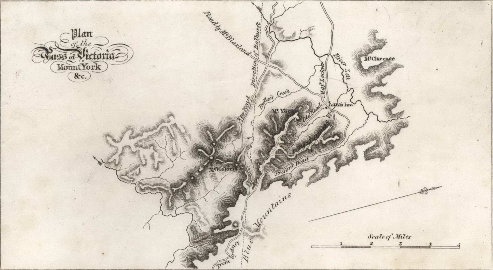
Plan Of The Pass Of Victoria, Mount York
c1838. Engraving, title and faint artist’s initials in plate upper left and below image, 8.7 x 16.2cm (image). Trimmed plate marks, repaired lower margin, slight foxing, soiling. From The picture of Sydney and strangers’ guide in New South Wales for 1839, published in Sydney by J. Maclehose, 1839. Held in NGA. This map is one of the earliest maps of the Mount Victoria area in the Blue Mountains, NSW. The Victoria Pass, considered to be a masterpiece of engineering by Surveyor General Major Mitchell, was completed in 1832.
Item #CL181-30
Price (AUD): $1,250.00 other currencies
See all items in
Prints