Go Back
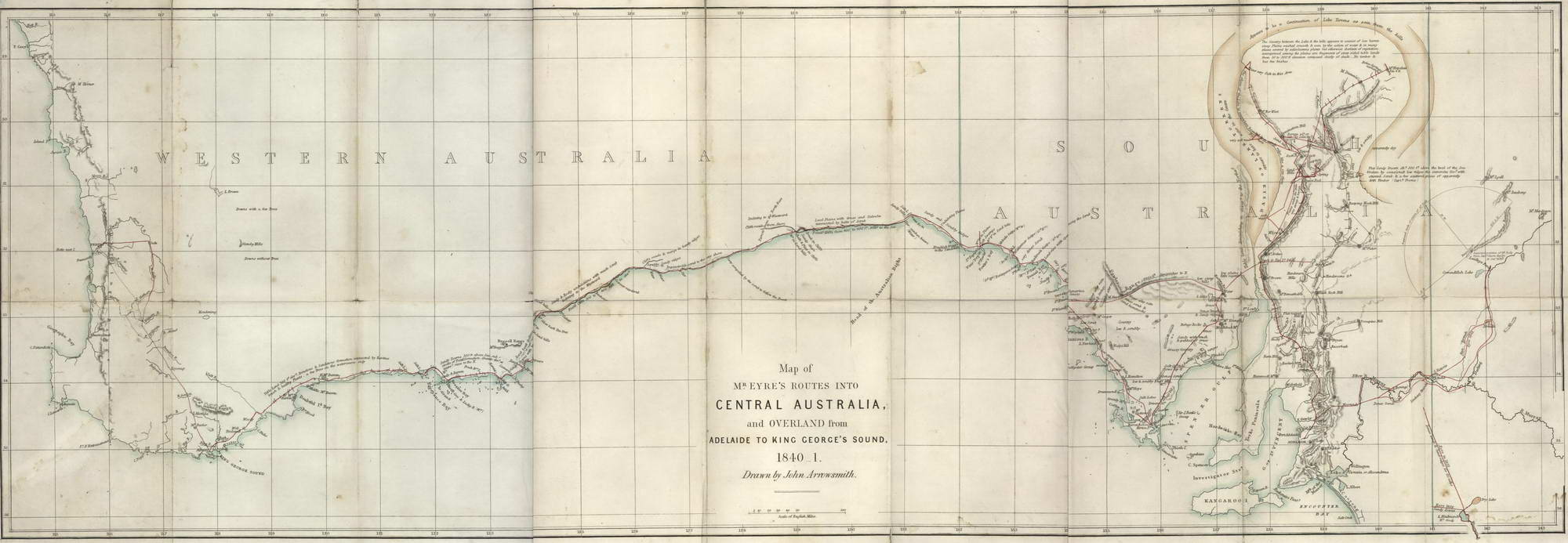
Map Of Mr Eyre’s Routes Into Central Australia
1845. Engraving with hand-colouring, title including date in plate lower centre, 33.2 x 92.7cm. Minor perforations to old folds, slight stains, trimmed left margin, sections repaired with tape verso. Title and text continue “And overland from Adelaide to King George’s Sound, 1840– 1. Drawn by John Arrowsmith. London, W.&T. Boone 1845.” This map of southern Australia shows the tracks of the English explorer John Eyre (1851–1901.) It was published in Journals of Expeditions of Discovery into Central Australia. Included on the map are descriptive notes on topography and vegetation. Held in SLNSW.
Item #CL198-13
Please contact us re availability other currencies
See all items in
Prints